Environmental Seismology @ UC Davis
Debris Flow Characterization at Mount Rainier
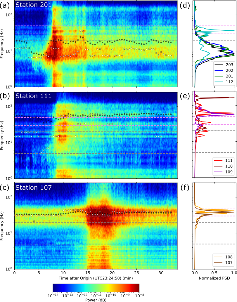
Tahoma Creek on the SW corner of Mount Rainier has seasonal debris flows accounting for a large portion of the debris flows occuring within Mount Rainier National Park. Our work leverages the permanent Rainier Lahar Detection System as well as seasonal deployments of seismic nodes in the Tahoma Creek drainage to characterize these debris flow events.
Current work in review at Seismological Research Letters looks at the seismic characteristics over the transition from debris flow to hyperconcentrated flow that occured during a debris flow in 2023. This behaviour appears to be characteristic of the Tahoma Creek drainage as subsequent debris flows in 2025 and 2026 show similar patterns.
Our recent paper characterizing seismic channel properties in Tahoma Creek can be found here. 
Slope Hazards in Canadian Arctic
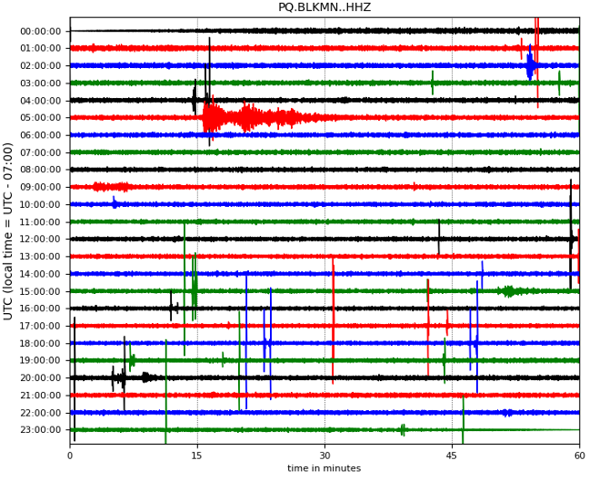
Global climate change disproportionately affects the high north where localized amplification of warming is sometimes 3 to 4 times greater than the global average. In combination with ice loss, these changes bring significant uncertainty about the nature and magnitude of slope hazards.
We are currently working on compiling a catalog of mass movement events at seismic stations throughout the Canadian Arctic.
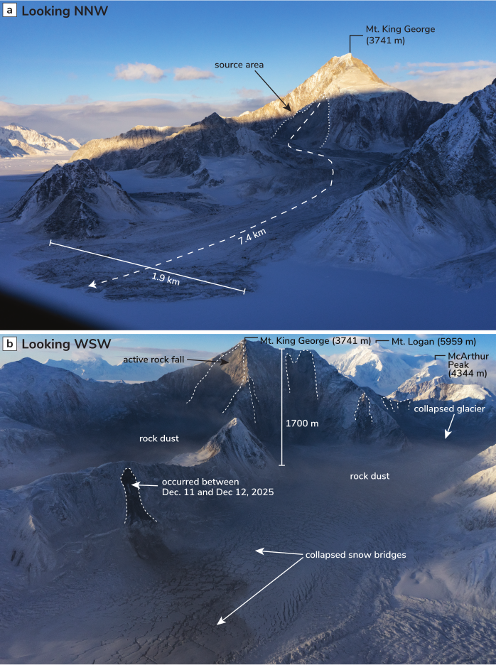
Earthquakes and Secondary Slope Hazards in Alaska and Yukon
Tectonically active regions, like SW Yukon and SE Alaska, have the added complication of increased secondary hazards from earthquake-triggered landslides or other ground failure events. In collaboration with the Yukon Geological Survey and the Natural Resources Canada, we are working on characterizing seismic risk in this region focused particularly on the Totschunda-Fairweather Connector Fault in the St. Elias region.
Our recent report on the 6 Dec 2025 Yukon / Hubbard Glacier Earthquake can be found here: